
Kundra topographic map
Interactive map
Click on the map to display elevation.
About this map
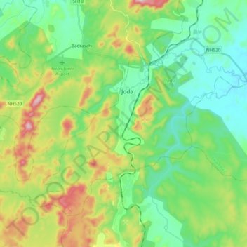
Name: Kundra topographic map, elevation, terrain.
Location: Kundra, Joda, Kendujhar, Odisha, 758034, India (21.94773 85.31998 22.05470 85.51012)
Average elevation: 538 m
Minimum elevation: 409 m
Maximum elevation: 825 m