
Nedumpoil topographic map
Interactive map
Click on the map to display elevation.
About this map
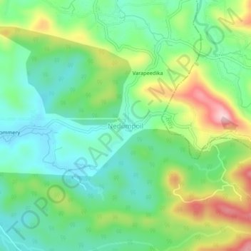
Name: Nedumpoil topographic map, elevation, terrain.
Location: Nedumpoil, Thalassery, Kannur district, Kerala, India (11.83282 75.72262 11.87282 75.76262)
Average elevation: 139 m
Minimum elevation: 55 m
Maximum elevation: 304 m