
Tarur topographic map
Interactive map
Click on the map to display elevation.
About this map
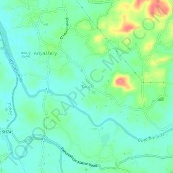
Name: Tarur topographic map, elevation, terrain.
Location: Tarur, Alathur, Palakkad district, Kerala, 678544, India (10.65319 76.44775 10.69319 76.48775)
Average elevation: 53 m
Minimum elevation: 33 m
Maximum elevation: 106 m