
Deomali topographic map
Interactive map
Click on the map to display elevation.
About this map
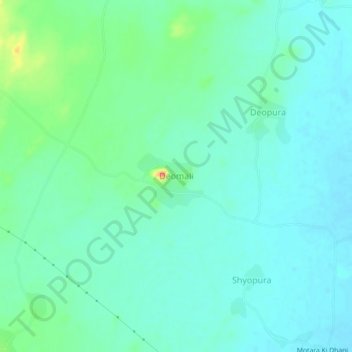
Name: Deomali topographic map, elevation, terrain.
Average elevation: 443 m
Minimum elevation: 430 m
Maximum elevation: 485 m
Other topographic maps
Click on a map to view its topography, its elevation and its terrain.
Begaliyawas
India > Rajasthan > Masuda Tehsil > Begaliyawas
Begaliyawas, Masuda Tehsil, Ajmer, Rajasthan, India
Average elevation: 448 m