
Machh kund topographic map
Interactive map
Click on the map to display elevation.
About this map
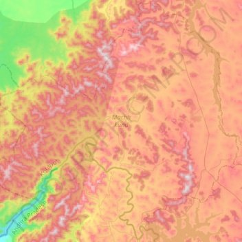
Name: Machh kund topographic map, elevation, terrain.
Location: Machh kund, Koraput, Odisha, 764081, India (18.44393 82.38476 18.68912 82.64886)
Average elevation: 849 m
Minimum elevation: 451 m
Maximum elevation: 1,141 m