
Dasmantapur topographic map
Interactive map
Click on the map to display elevation.
About this map
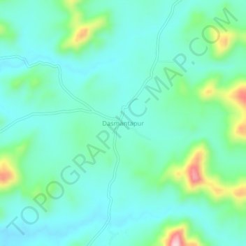
Name: Dasmantapur topographic map, elevation, terrain.
Location: Dasmantapur, Dasamantapur, Koraput, Odisha, 765028, India (19.02507 82.90121 19.06507 82.94121)
Average elevation: 780 m
Minimum elevation: 721 m
Maximum elevation: 990 m