
Bandhugaon topographic map
Interactive map
Click on the map to display elevation.
About this map
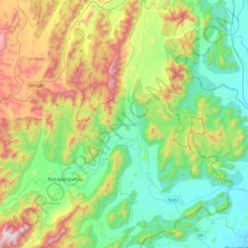
Name: Bandhugaon topographic map, elevation, terrain.
Location: Bandhugaon, Koraput, Odisha, 764027, India (18.78335 83.16934 19.12550 83.41372)
Average elevation: 541 m
Minimum elevation: 119 m
Maximum elevation: 1,485 m