
Nandapur topographic map
Interactive map
Click on the map to display elevation.
About this map
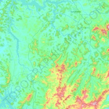
Name: Nandapur topographic map, elevation, terrain.
Location: Nandapur, Koraput, Odisha, India (18.40611 82.53204 18.76575 82.89215)
Average elevation: 944 m
Minimum elevation: 825 m
Maximum elevation: 1,462 m