
Kahawatta topographic map
Interactive map
Click on the map to display elevation.
About this map
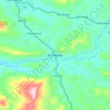
Name: Kahawatta topographic map, elevation, terrain.
Location: Kahawatta, Ratnapura District, Sabaragamuwa Province, Sri Lanka (6.54318 80.53327 6.62318 80.61327)
Average elevation: 213 m
Minimum elevation: 74 m
Maximum elevation: 663 m