
Kelghar topographic map
Interactive map
Click on the map to display elevation.
About this map
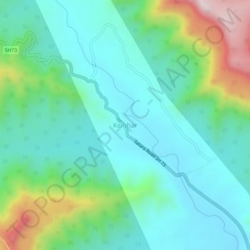
Name: Kelghar topographic map, elevation, terrain.
Location: Kelghar, Jaoli, Satara, Maharashtra, India (17.83476 73.74703 17.87476 73.78703)
Average elevation: 850 m
Minimum elevation: 709 m
Maximum elevation: 1,278 m