
Gandhidham topographic map
Interactive map
Click on the map to display elevation.
About this map
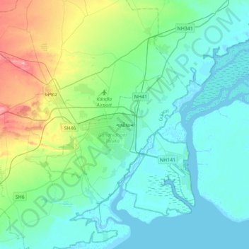
Name: Gandhidham topographic map, elevation, terrain.
Location: Gandhidham, Gandhidham Taluka, Kachchh, Gujarat, 370210, India (22.91187 69.97172 23.23187 70.29172)
Average elevation: 25 m
Minimum elevation: 0 m
Maximum elevation: 122 m