
Saddar topographic map
Interactive map
Click on the map to display elevation.
About this map
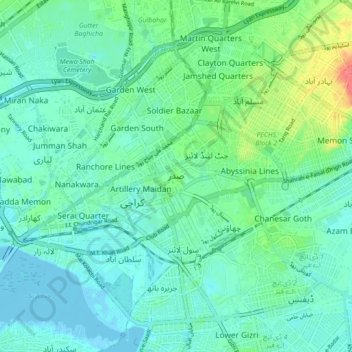
Name: Saddar topographic map, elevation, terrain.
Location: Saddar, Karachi, Sindh, 74400, Pakistan (24.82057 66.99174 24.90057 67.07174)
Average elevation: 14 m
Minimum elevation: -6 m
Maximum elevation: 62 m