
Rajendranagar mandal topographic map
Interactive map
Click on the map to display elevation.
About this map
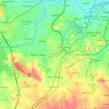
Name: Rajendranagar mandal topographic map, elevation, terrain.
Location: Rajendranagar mandal, Rangareddy, Telangana, India (17.26802 78.37413 17.37212 78.46457)
Average elevation: 544 m
Minimum elevation: 487 m
Maximum elevation: 629 m
Other topographic maps
Click on a map to view its topography, its elevation and its terrain.