
Periyanganam topographic map
Interactive map
Click on the map to display elevation.
About this map
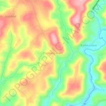
Name: Periyanganam topographic map, elevation, terrain.
Location: Periyanganam, Vellarikkundu, Kasaragod district, Kerala, India (12.29527 75.25024 12.33527 75.29024)
Average elevation: 103 m
Minimum elevation: 7 m
Maximum elevation: 199 m