
Kasipur topographic map
Interactive map
Click on the map to display elevation.
About this map
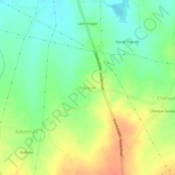
Name: Kasipur topographic map, elevation, terrain.
Location: Kasipur, Kandi mandal, Sangareddy, Telangana, 502285, India (17.53636 78.09258 17.57636 78.13258)
Average elevation: 545 m
Minimum elevation: 525 m
Maximum elevation: 570 m