
Laxmipur topographic map
Interactive map
Click on the map to display elevation.
About this map
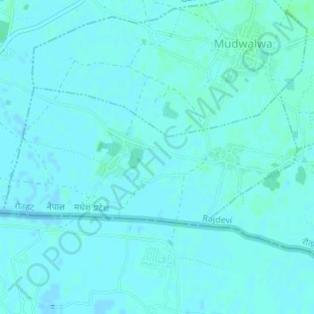
Name: Laxmipur topographic map, elevation, terrain.
Location: Laxmipur, Rajdevi, Rautahat, Province #2, Nepal (26.75238 85.28428 26.76428 85.31273)
Average elevation: 74 m
Minimum elevation: 72 m
Maximum elevation: 77 m