
Dhrol topographic map
Interactive map
Click on the map to display elevation.
About this map
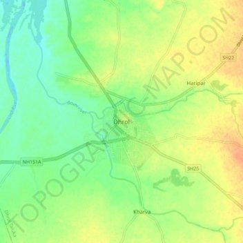
Name: Dhrol topographic map, elevation, terrain.
Location: Dhrol, Dhrol Taluka, Jamnagar District, Gujarat, 361210, India (22.52757 70.37644 22.60757 70.45644)
Average elevation: 33 m
Minimum elevation: 17 m
Maximum elevation: 50 m