
Nandigaon topographic map
Interactive map
Click on the map to display elevation.
About this map
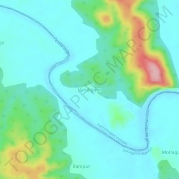
Name: Nandigaon topographic map, elevation, terrain.
Location: Nandigaon, Penchikalpet mandal, Komram Bheem, Telangana, India (19.19243 79.87553 19.23243 79.91553)
Average elevation: 147 m
Minimum elevation: 111 m
Maximum elevation: 273 m