
Thergaon topographic map
Interactive map
Click on the map to display elevation.
About this map
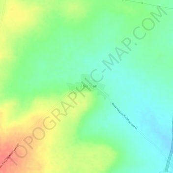
Name: Thergaon topographic map, elevation, terrain.
Location: Thergaon, Shirur-Anantpal, Latur, Maharashtra, India (18.36577 76.78566 18.36994 76.79326)
Average elevation: 617 m
Minimum elevation: 591 m
Maximum elevation: 651 m