
Pilandri topographic map
Interactive map
Click on the map to display elevation.
About this map
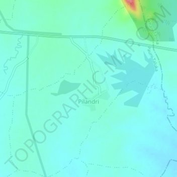
Name: Pilandri topographic map, elevation, terrain.
Location: Pilandri, Pauni Taluka, Bhandara District, Maharashtra, India (20.90627 79.75110 20.93776 79.78039)
Average elevation: 255 m
Minimum elevation: 242 m
Maximum elevation: 326 m