
Meegoda topographic map
Interactive map
Click on the map to display elevation.
About this map
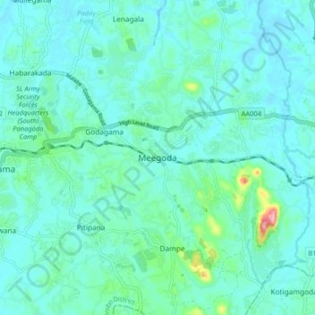
Name: Meegoda topographic map, elevation, terrain.
Location: Meegoda, Colombo District, Western Province, 10200, Sri Lanka (6.80411 80.00603 6.88411 80.08603)
Average elevation: 24 m
Minimum elevation: 4 m
Maximum elevation: 139 m
Other topographic maps
Click on a map to view its topography, its elevation and its terrain.