
Parinda topographic map
Interactive map
Click on the map to display elevation.
About this map
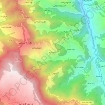
Name: Parinda topographic map, elevation, terrain.
Location: Parinda, Jaiharīkhāl, Lansdowne, Pauri Garhwal, 246155, India (29.83753 78.67373 29.87753 78.71373)
Average elevation: 1,257 m
Minimum elevation: 738 m
Maximum elevation: 1,834 m