
Ranala topographic map
Interactive map
Click on the map to display elevation.
About this map
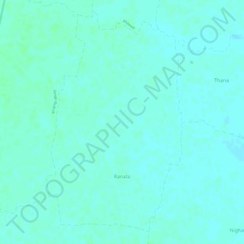
Name: Ranala topographic map, elevation, terrain.
Location: Ranala, Pauni Taluka, Bhandara District, Maharashtra, India (20.82611 79.71784 20.85028 79.73395)
Average elevation: 236 m
Minimum elevation: 233 m
Maximum elevation: 240 m