
Angamoozhy topographic map
Interactive map
Click on the map to display elevation.
About this map
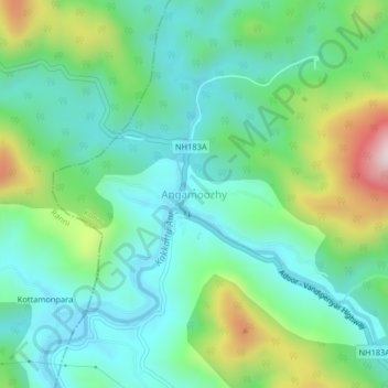
Name: Angamoozhy topographic map, elevation, terrain.
Location: Angamoozhy, Konni, Pathanamthitta, Kerala, 689667, India (9.34078 76.96881 9.38078 77.00881)
Average elevation: 233 m
Minimum elevation: 76 m
Maximum elevation: 646 m