
Kunoor topographic map
Interactive map
Click on the map to display elevation.
About this map
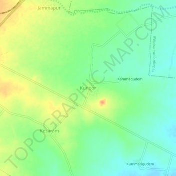
Name: Kunoor topographic map, elevation, terrain.
Location: Kunoor, Bhongiri mandal, Yadadri Bhuvanagiri, Telangana, India (17.51274 78.95154 17.55274 78.99154)
Average elevation: 384 m
Minimum elevation: 367 m
Maximum elevation: 405 m