
Sindkheda topographic map
Interactive map
Click on the map to display elevation.
About this map
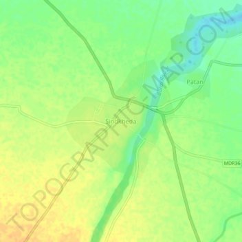
Name: Sindkheda topographic map, elevation, terrain.
Location: Sindkheda, Sindkhede, Dhule, Maharashtra, 425406, India (21.25092 74.72566 21.29092 74.76566)
Average elevation: 164 m
Minimum elevation: 147 m
Maximum elevation: 176 m