
Gampola topographic map
Interactive map
Click on the map to display elevation.
About this map
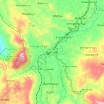
Name: Gampola topographic map, elevation, terrain.
Location: Gampola, Kandy District, Central Province, 20500, Sri Lanka (7.12365 80.53027 7.20365 80.61027)
Average elevation: 604 m
Minimum elevation: 284 m
Maximum elevation: 1,057 m