
Merta City topographic map
Interactive map
Click on the map to display elevation.
About this map
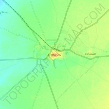
Name: Merta City topographic map, elevation, terrain.
Location: Merta City, Merta Tehsil, Nagaur, Rajasthan, 341510, India (26.60804 73.99350 26.68804 74.07350)
Average elevation: 312 m
Minimum elevation: 299 m
Maximum elevation: 327 m