
Mammodu topographic map
Interactive map
Click on the map to display elevation.
About this map
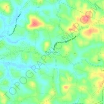
Name: Mammodu topographic map, elevation, terrain.
Location: Mammodu, Changanassery, Kottayam, Kerala, 686536, India (9.46084 76.58583 9.50084 76.62583)
Average elevation: 34 m
Minimum elevation: 6 m
Maximum elevation: 89 m