
Seloo topographic map
Interactive map
Click on the map to display elevation.
About this map
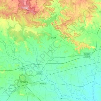
Name: Seloo topographic map, elevation, terrain.
Location: Seloo, Wardha, Maharashtra, India (20.69017 78.52418 21.03648 78.92623)
Average elevation: 309 m
Minimum elevation: 216 m
Maximum elevation: 605 m
Other topographic maps
Click on a map to view its topography, its elevation and its terrain.