
Lake Garda topographic map
Interactive map
Click on the map to display elevation.
About this map
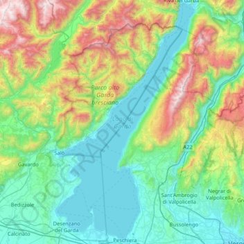
Name: Lake Garda topographic map, elevation, terrain.
Location: Lake Garda, Brescia, Lombardy, Italy (45.43775 10.51091 45.88482 10.87690)
Average elevation: 571 m
Minimum elevation: 57 m
Maximum elevation: 2,211 m
Other topographic maps
Click on a map to view its topography, its elevation and its terrain.