
Eastern Ghats topographic map
Interactive map
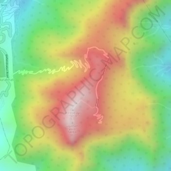
Click on the map to display elevation.
About this map
Name: Eastern Ghats topographic map, elevation, terrain.
Average elevation: 1,130 m
Minimum elevation: 777 m
Maximum elevation: 1,494 m
The Maliya Range is located in the northern portion of the Eastern Ghats, generally ranging between elevations of 900–1,200 m. The tallest peak in this range is Mahendragiri (1,501 m).
Other topographic maps
Click on a map to view its topography, its elevation and its terrain.
Mahendragiri
India > Odisha > Ramagiri > Burakhat
Mahendragiri, Burakhat, Ramagiri, Gajapati District, Odisha, India
Average elevation: 1,108 m