
Panzara River topographic map
Interactive map
Click on the map to display elevation.
About this map
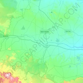
Name: Panzara River topographic map, elevation, terrain.
Location: Panzara River, Dhule, Maharashtra, 424001, India (20.90820 74.44428 20.94806 74.72282)
Average elevation: 374 m
Minimum elevation: 268 m
Maximum elevation: 874 m
Other topographic maps
Click on a map to view its topography, its elevation and its terrain.