
Kuppam topographic map
Interactive map
Click on the map to display elevation.
About this map
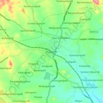
Name: Kuppam topographic map, elevation, terrain.
Location: Kuppam, Chittoor District, Andhra Pradesh, 517425, India (12.70523 78.30433 12.78523 78.38433)
Average elevation: 690 m
Minimum elevation: 639 m
Maximum elevation: 806 m
Other topographic maps
Click on a map to view its topography, its elevation and its terrain.
Kuppam
India > Andhra Pradesh > Kuppam
Kuppam, Chittoor, Andhra Pradesh, India
Average elevation: 662 m