
Mahiyanganaya topographic map
Interactive map
Click on the map to display elevation.
About this map
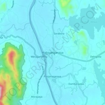
Name: Mahiyanganaya topographic map, elevation, terrain.
Location: Mahiyanganaya, Badulla District, Uva Province, 90700, Sri Lanka (7.30017 80.95313 7.38017 81.03313)
Average elevation: 123 m
Minimum elevation: 73 m
Maximum elevation: 631 m
Other topographic maps
Click on a map to view its topography, its elevation and its terrain.