
Bandhavgarh National Park/Tiger Reserve topographic map
Interactive map
Click on the map to display elevation.
About this map
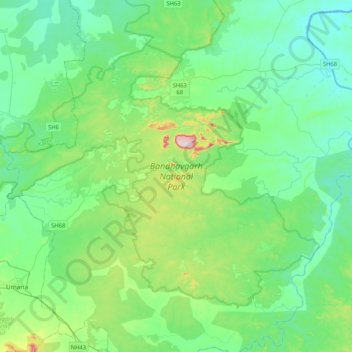
Name: Bandhavgarh National Park/Tiger Reserve topographic map, elevation, terrain.
Average elevation: 443 m
Minimum elevation: 350 m
Maximum elevation: 809 m
Other topographic maps
Click on a map to view its topography, its elevation and its terrain.
Tala
India > Madhya Pradesh > Manpur Tahsil > Tala
Tala, Manpur Tahsil, Umaria, Madhya Pradesh, India
Average elevation: 469 m