
Alair topographic map
Interactive map
Click on the map to display elevation.
About this map
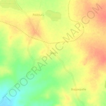
Name: Alair topographic map, elevation, terrain.
Location: Alair, Telkapalle mandal, Nagarkurnool, Telangana, India (16.34000 78.42843 16.38000 78.46843)
Average elevation: 454 m
Minimum elevation: 424 m
Maximum elevation: 472 m