
Söğüt topographic map
Interactive map
Click on the map to display elevation.
About this map
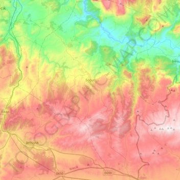
Name: Söğüt topographic map, elevation, terrain.
Location: Söğüt, Bilecik, Marmara Region, Turkey (39.84053 30.04468 40.15782 30.36547)
Average elevation: 726 m
Minimum elevation: 133 m
Maximum elevation: 1,366 m