
Avancha topographic map
Interactive map
Click on the map to display elevation.
About this map
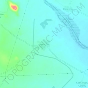
Name: Avancha topographic map, elevation, terrain.
Location: Avancha, Thimmajipeta mandal, Nagarkurnool, Telangana, India (16.69151 78.22855 16.73151 78.26855)
Average elevation: 489 m
Minimum elevation: 471 m
Maximum elevation: 579 m