
Chechat topographic map
Interactive map
Click on the map to display elevation.
About this map
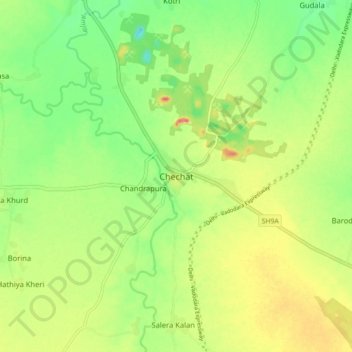
Name: Chechat topographic map, elevation, terrain.
Location: Chechat, Ramganj Mandi Tehsil, Kota, Rajasthan, 326518, India (24.72499 75.84712 24.80499 75.92712)
Average elevation: 342 m
Minimum elevation: 310 m
Maximum elevation: 381 m