
Amarsar topographic map
Interactive map
Click on the map to display elevation.
About this map
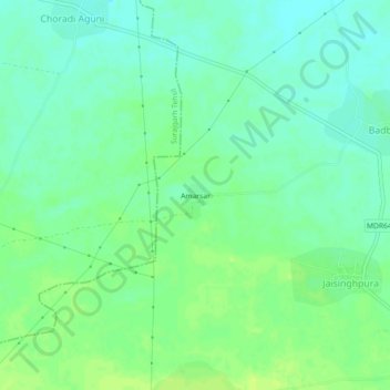
Name: Amarsar topographic map, elevation, terrain.
Location: Amarsar, Buhana Tehsil, Jhunjhunun, Rajasthan, India (28.20905 75.81390 28.24905 75.85390)
Average elevation: 298 m
Minimum elevation: 291 m
Maximum elevation: 306 m