
Küre topographic map
Interactive map
Click on the map to display elevation.
About this map
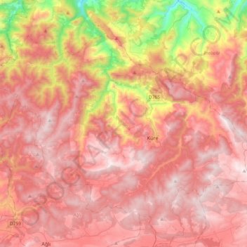
Name: Küre topographic map, elevation, terrain.
Location: Küre, Kastamonu, Black Sea Region, Turkey (41.72381 33.47749 41.91522 33.84317)
Average elevation: 990 m
Minimum elevation: 58 m
Maximum elevation: 1,541 m