
Chandrapur topographic map
Interactive map
Click on the map to display elevation.
About this map
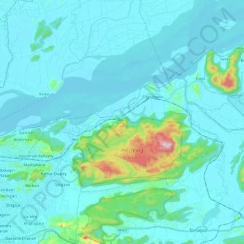
Name: Chandrapur topographic map, elevation, terrain.
Location: Chandrapur, Kamrup Metropolitan, Assam, 781050, India (26.15228 91.81969 26.27347 92.05558)
Average elevation: 96 m
Minimum elevation: 42 m
Maximum elevation: 556 m