
Yatawara topographic map
Interactive map
Click on the map to display elevation.
About this map
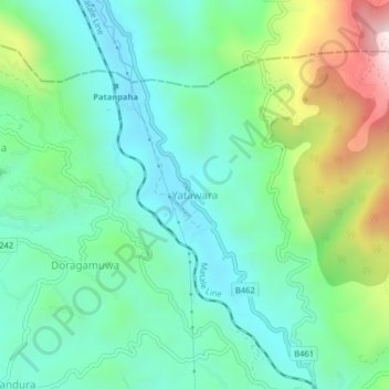
Name: Yatawara topographic map, elevation, terrain.
Location: Yatawara, Kandy District, Central Province, 20810, Sri Lanka (7.35286 80.64989 7.39286 80.68989)
Average elevation: 595 m
Minimum elevation: 378 m
Maximum elevation: 1,156 m