
Katkamsandi topographic map
Interactive map
Click on the map to display elevation.
About this map
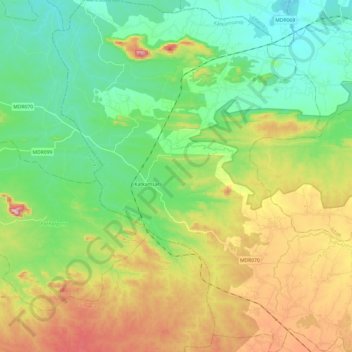
Name: Katkamsandi topographic map, elevation, terrain.
Location: Katkamsandi, Hazaribagh, Jharkhand, 825334, India (24.00572 85.13625 24.22607 85.37087)
Average elevation: 517 m
Minimum elevation: 396 m
Maximum elevation: 748 m