
banegaon topographic map
Interactive map
Click on the map to display elevation.
About this map
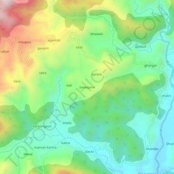
Name: banegaon topographic map, elevation, terrain.
Location: banegaon, Kanda, Bageshwar, Uttarakhand, 263631, India (29.77952 79.94060 29.81952 79.98060)
Average elevation: 1,356 m
Minimum elevation: 1,149 m
Maximum elevation: 1,758 m