
Dhari topographic map
Interactive map
Click on the map to display elevation.
About this map
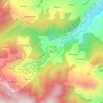
Name: Dhari topographic map, elevation, terrain.
Location: Dhari, Bāgeshwar, Bageshwar, Uttarakhand, 263642, India (29.79220 79.70270 29.83220 79.74270)
Average elevation: 1,460 m
Minimum elevation: 969 m
Maximum elevation: 1,917 m