
Banaik topographic map
Interactive map
Click on the map to display elevation.
About this map
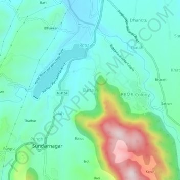
Name: Banaik topographic map, elevation, terrain.
Location: Banaik, Sundarnagar, Mandi, Himachal Pradesh, 175019, India (31.51059 76.87601 31.55059 76.91601)
Average elevation: 940 m
Minimum elevation: 813 m
Maximum elevation: 1,329 m
Other topographic maps
Click on a map to view its topography, its elevation and its terrain.