
Dethani topographic map
Interactive map
Click on the map to display elevation.
About this map
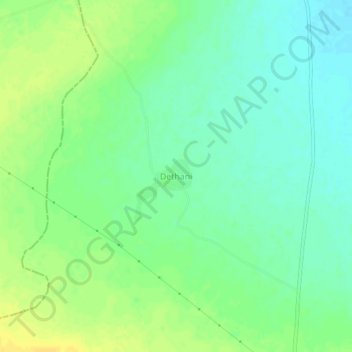
Name: Dethani topographic map, elevation, terrain.
Location: Dethani, Malpura Tehsil, Tonk, Rajasthan, India (26.41092 75.16421 26.45092 75.20421)
Average elevation: 361 m
Minimum elevation: 350 m
Maximum elevation: 373 m