
Dehianga topographic map
Interactive map
Click on the map to display elevation.
About this map
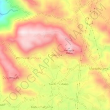
Name: Dehianga topographic map, elevation, terrain.
Location: Dehianga, Kandy District, Central Province, 20450, Sri Lanka (7.28013 80.53480 7.32013 80.57480)
Average elevation: 582 m
Minimum elevation: 282 m
Maximum elevation: 771 m